Add at least one vessel to the application to gain access to the Trips View.

Vessels View
Vessels added to the application are display on this page. They are identified by Manufacture, model, year and official number (license). Press and hold your finger on the vessel picture in order to display the menu. Vessel Details View data is used to populate Float Plans as well as the CG-719S form. Review this page before hand so you can have the information readily available to enter. Entering data in all required sections activates the Save button so the data can be stored.
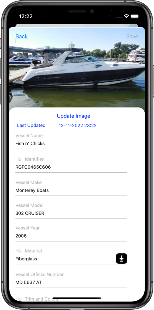
Vessel Details (part 1)
Add Vessel Related Details
Starting from top to bottom, tap the Update Image button to add an image. Vessel image is optional. Enter the vessel name (mandatory field), and hull identification digits. The application to date supports over 200 manufactures. For vessels made after 1971, the application will attempt to lookup the vessel based on the 12 digit hull identification digits. If successful, the application will populate the Vessel Make, Vessel Year, Hull Material, Vessel Propulsion, Vessel Propulsion Type, Vessel Engine Type, number of engines and the populate the Vessel Model drop down with models the boat year.
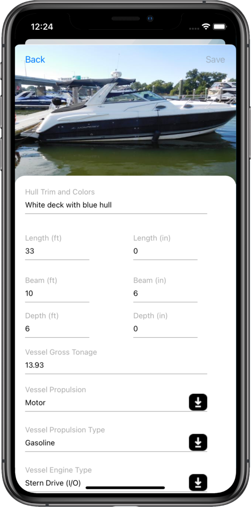
Vessel Details (part 2)
Tap the Vessel Model from the Vessel Model drop down. Selecting a vessel model populates additional fields such as length and beam dimensions. Enter the depth feet and inches. After selecting the return key, the application will calculate the Vessel Gross Tonnage.
Vessel Details (part 3)
Add the Vessel’s Engine Details
Within this view is an additional scrolling view. Enter your vessel’s Engine Details based on orientation (Port, Starboard, etc), select the hours for each motor and lastly, enter the engine model. Next, select the number of fuel tanks and fuel tank capacity.

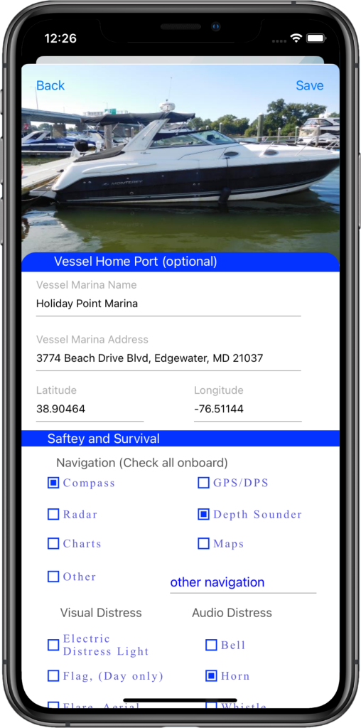
Vessel Details (part 4)
Enter the vessel home port name and address. The application will attempt to geo-code the address and auto-populate the Latitude and Longitude. Entering this information will allow you to auto-populate your trip start (start at home port) and end (end at home port) when generating and itinerary. Vessel home port fields are optional.
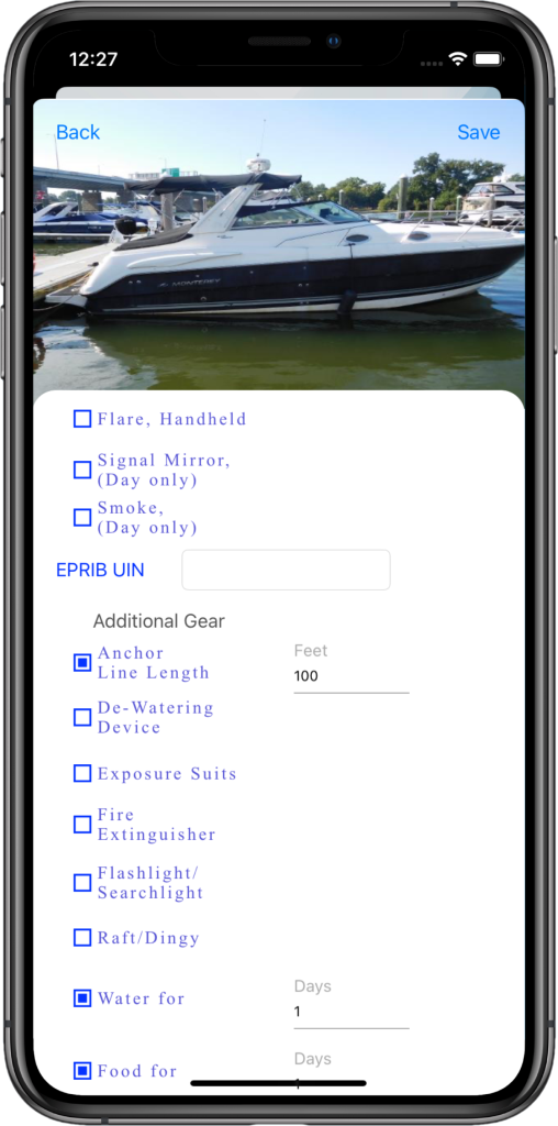
Vessel Details (part 5)
Add Safety and Survival Details
The last section Safety and Survival, contains subsections Navigation, Visual/Audio Distress Signals and Additional Gear which a entered directly into the float plan. Check any items in these subsections that are applicable. For information on EPIRB, use the link below: